


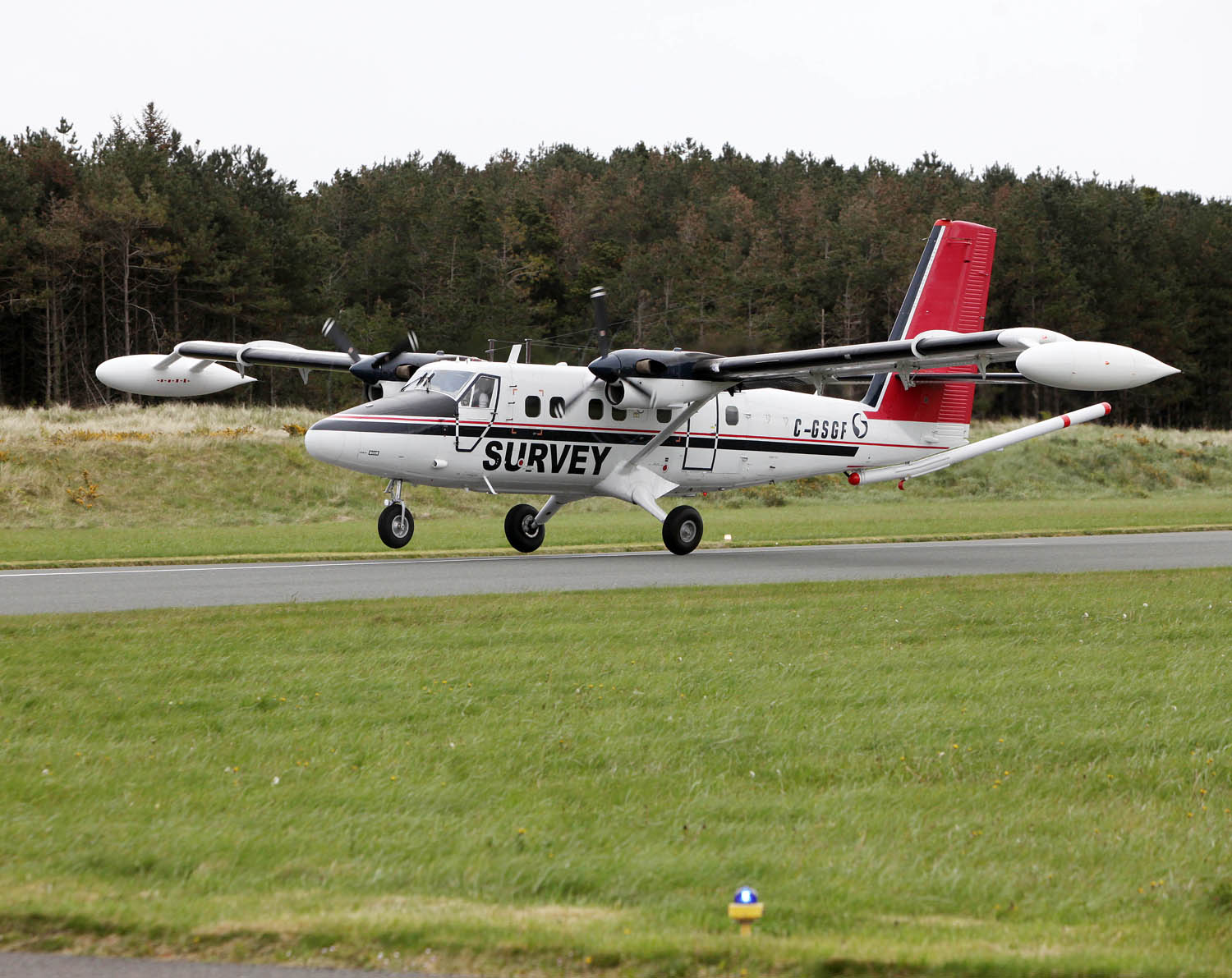
Back for the seventh year, the Tellus aerial survey will take over Co. Limerick, north Tipperary and west Cork (see maps below) from May to Autumn weather permitting. The survey will be conducted by a low flying deHavilland DHC-6 Twin Otter flying at approximately 250ft over rural areas and 800ft over built up areas. The main publicity campaign is aimed at farmers and animal owners, however general aviation pilots operating in these areas should be alert for low flying aircraft. This is particularly important when operating from farm airstrips or other airstrips not marked on maps. Check for NOTAMs and also the www.tellus.ie website for up to date areas of operation.
If you are interested in finding out more about the project, you can contact the Tellus Freephone information line on 1800 45 55 65 or visit www.tellus.ie. You can also follow Tellus on twitter, @TellusGSI


